3EYE
WEB APP FOR DATA FROM 3D AND 2D FROM MAPPING SOURCES
Private and public service companies carrying out planning activities need to implement cadastral surveys and land measurements together with the census of infrastructure and building units. The management of data from geospatial mapping usually requires the use of multiple software and specific technical skills.

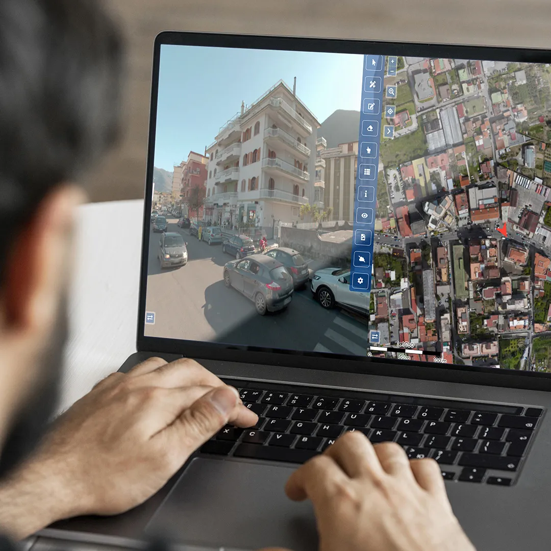
3EYE IS THE WEB SOLUTION TO INTUITIVELY VISUALIZE, CONSULT, AND MANAGE GEOGRAPHICAL DATA FROM LAND SURVEYS OBTAINED BY LASER SCAN AND GIS MAPPING.
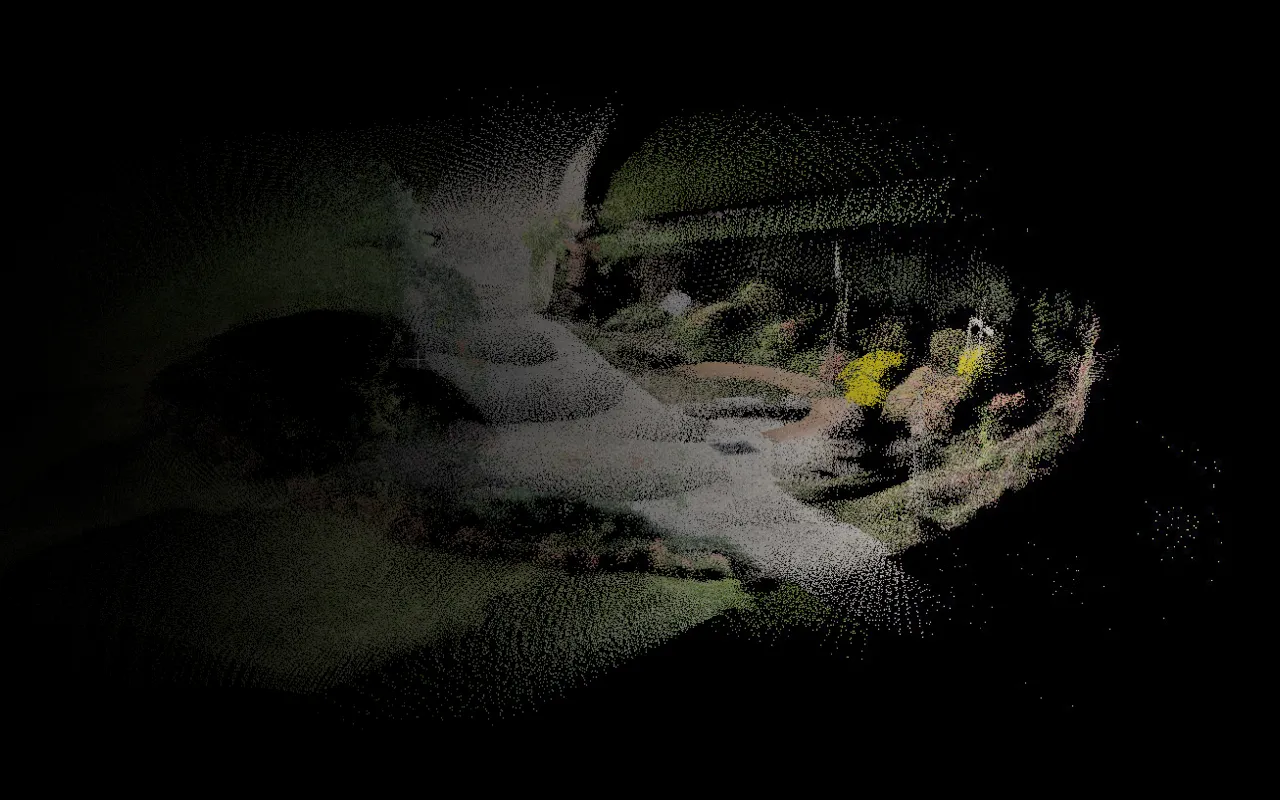
A digital copy of the territory is produced, mapped with the help of drones and vehicles equipped with 360 cameras and Lidar scans. Advanced technology ensures a high level of detail in the output: in 3EYE it is possible to work with orthophotos, photospheres and georeferenced point clouds. The software makes it possible to visualize geospatial data, take measurements and isolate specific features using artificial intelligence algorithms.
Let's evaluate together the most suitable solution for your needs
CUT COSTS
Save on field inspections: your operators can act remotely
SIMPLIFY YOUR OPERATIONS
A single web platform to consult and manage 2D and 3D land survey outputs.
USE FROM ANY DEVICE
3Eye is a web platform: use is guaranteed on every device without installation or updates.
MANAGEMENT AND DISPLAY

3eye renders the territory digitally: 2D in a map and 3D with a point cloud.
DESIGN IN 2D AND 3D

Make measurements and annotations directly on 2D and 3D maps. Manipulation and export of point clouds and shapefiles.
DETAILED DOCUMENTATION

Drones, vehicles equipped with 360 cameras and Lidar allow a more accurate photographic viewpoint than satellite instruments.
ARTIFICIAL INTELLIGENCE

Artificial intelligence algorithms enable the detection and classification of specific features on maps.
FIELDS OF EMPLOYMENT

Telecommunications

Energy
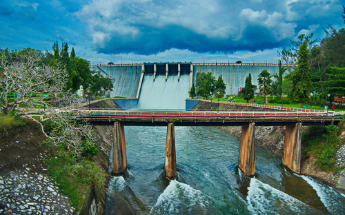
Water

Construction

Public Administrations
Let's evaluate together the most suitable solution for your needs