DRONE VISION
REMOTE-CONTROLLED DRONE MONITORING
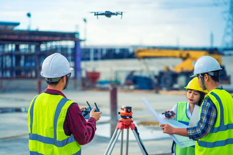
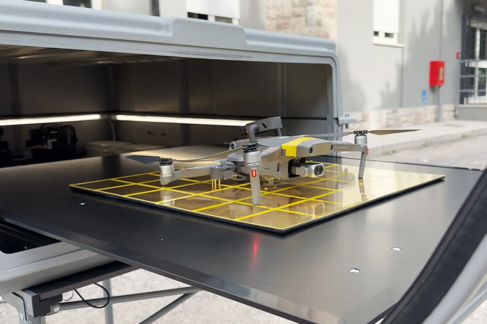
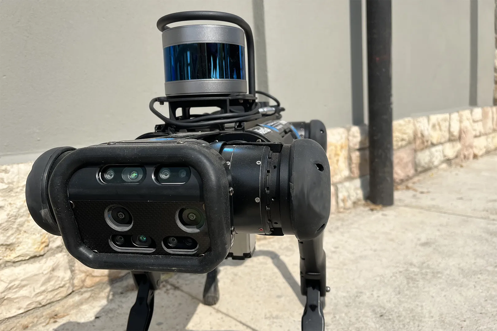
Mapping an area using manually controlled devices and traditional methods can be both time-consuming and costly. These factors are further exacerbated when adverse weather conditions impede drone flights. Drone Vision offers a solution through an automated drone survey system operated remotely, allowing for immediate data collection with the support of dedicated hangars. This survey system also incorporates the use of robotic dogs to enhance data collection efforts.
COMPLETE REMOTE MANAGEMENT OF YOUR SURVEY OR INSPECTION MISSIONS WITH DRONE VISION.
To generate the drone's flight plan, you simply need to trace the route to follow on the online map, specify the flight altitude, and indicate where to capture photogrammetric photos and videos. The drone carries out data collection and shares it in real-time with the hangar, its designated departure station for recharging and protection. The same process applies to robotic dogs, which can follow a programmed path and collect photos and point clouds. The collected media, as well as information about weather conditions and device battery levels, are transmitted to the Drone Vision and 3EYE platforms.
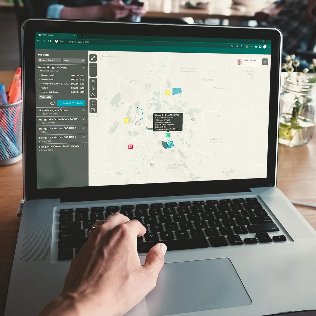
The Drone Vision platform features an online map where you can create flight plans for drones and exploratory or inspection routes for robotic dogs.
A dedicated back-office panel ensures remote control of the devices involved (hangars, drones, robotic dogs). The remote operator has the ability to plan the drone's flight and the robotic dog's path using two modes: "Exploratory" and "Photogrammetric."
In the former, the operator marks the trajectory to follow on the map, while in the latter, they draw the polygon of the area of interest for the survey. The flight plan and ground route are automatically generated once all input data is provided.
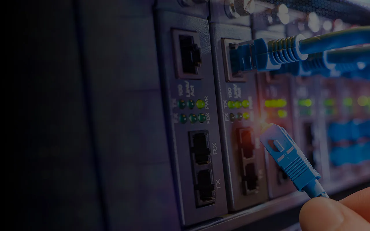
During flight the drones communicate in real-time with the hangar and the platform. This is made possible through the use of various technologies, including the "COM Box," satellite and terrestrial networks, and a ground gateway, all in compliance with high-security standards.
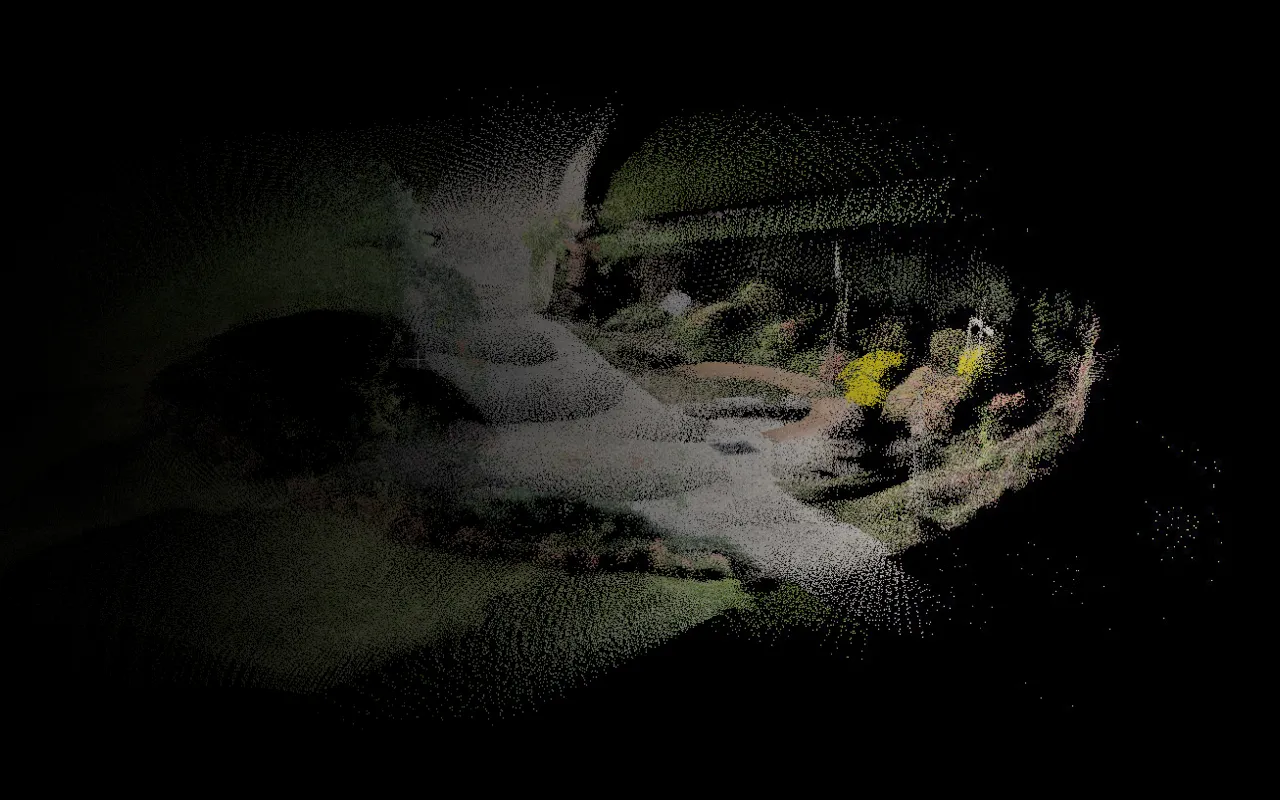
Cloud-based connectivity ensures real-time remote data access. The robotic dogs are equipped with integrated cameras and LIDAR sensors, enabling them to capture high-resolution images and three-dimensional information about the surrounding environment.
The acquired data can be used for a range of purposes, from identifying specific objects to documentation and monitoring.
Let's evaluate together the most suitable solution for your needs
LOWER THE COST OF DRONE SURVEYS
The elimination of the pilot in favour of unmanned drones allows the reduction of costs reduction of costs
REMOTE CONTROL OF HANGARS AND DRONES
Manage exploratory missions from one or more remote control centres.
SPEED UP YOUR WORK WITH DRONES
Real-time data sharing during acquisitions.
REMOTE CONTROL

Remote flight planning, data processing and visualisation on multiple dedicated platforms.
REAL-TIME DATA TRANSMISSION

Automatic data collection system with dedicated drone sensors and real-time sharing of information obtained during acquisitions.
EXPLORATORY MISSIONS

Multimedia files (photos and videos) from autonomous exploratory missions can be viewed within the Drone Vision platform.
AEROPHOTOGRAMMETRY MISSIONS

Easy-to-manage flight plans to obtain 2D and 3D geo-referenced data, in the form of orthophotos and point clouds, which can be consulted from the 3EYE GIS app.
FIELDS OF EMPLOYMENT

Telecommunications

Energy
Water

Construction

Public Administrations
Let's evaluate together the most suitable solution for your needs