MOBILE MAPPING
MOBILE MAPPING SYSTEMS FOR YOUR DATA COLLECTION
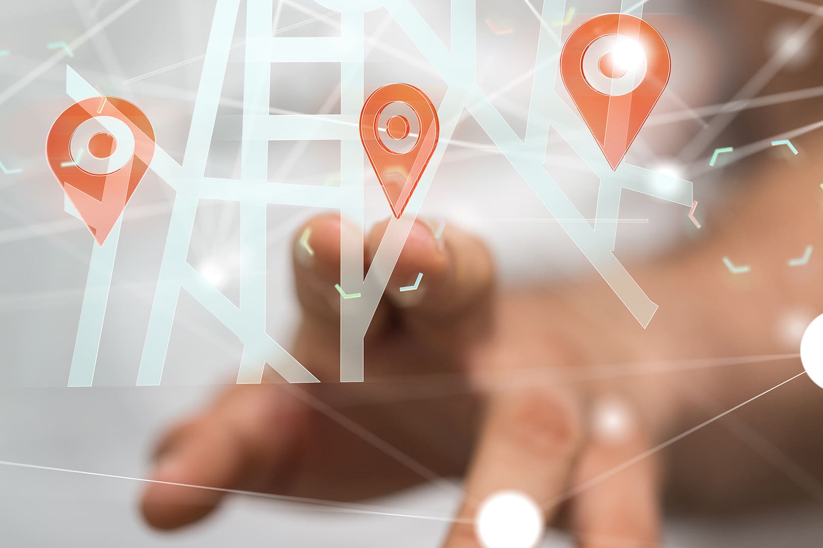
Many companies need to use mobile mapping and georeferencing technology systems to locate spatial elements of interest in the territory and carry out data collection. A field operator carrying out manual data collection would require a considerable investment of time and resources and would not produce enough detailed documentation for an in-depth consultation of the georeferenced data.
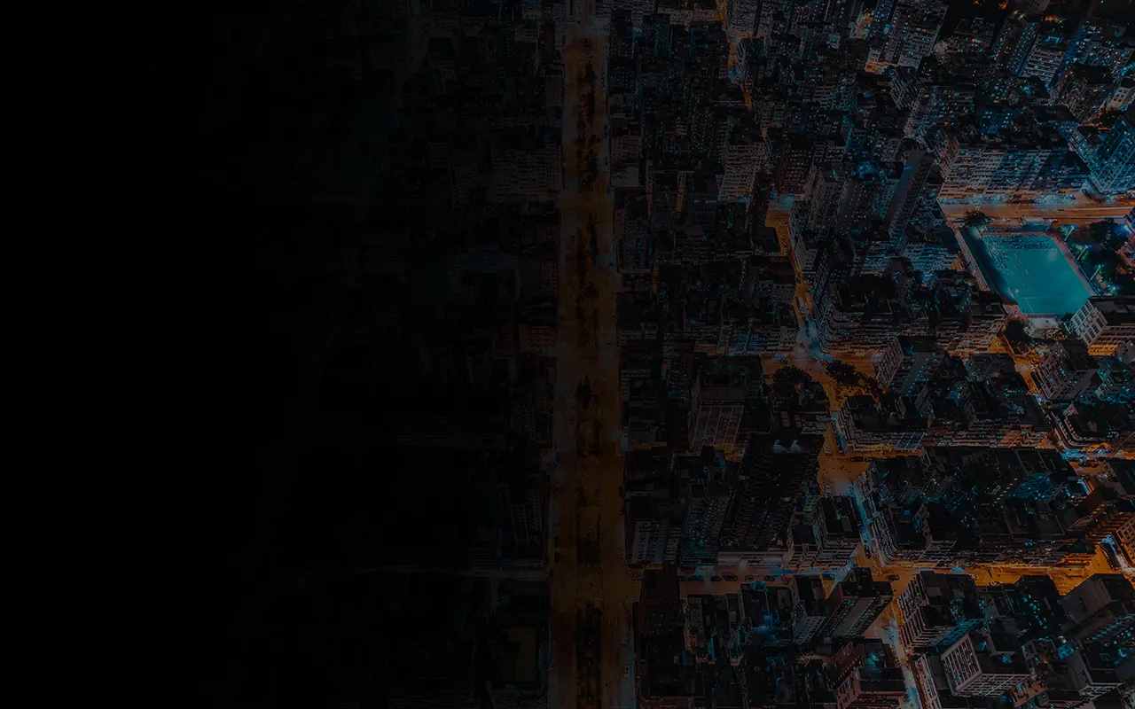
WITH MOBILE MAPPING, IT IS POSSIBLE TO COLLECT GEOSPATIAL DATA FROM A MOVING VEHICLE AND OBTAIN REAL-TIME DETAILED DOCUMENTATION OF TERRITORY MAPPING.
Mobile Mapping is a process of collecting geospatial data from a mobile vehicle equipped with high-precision inertial positioning technology, 360° camera, and sensor systems. Using the best georeferencing technologies, enormous amounts of spatial data, are rapidly collected and transformed into spherical photos and coloured or black-and-white point clouds.
Let's evaluate together the most suitable solution for your needs
OPTIMISE YOUR TIME
Thanks to our technology, you can collect a large amount of data in a short period of time.
REDUCE ACQUISITION AND HUMAN RESOURCE COSTS
Your operators will be able to use georeferenced data and documentation anywhere.
ALL-INCLUSIVE SERVICE
Our operators and technology are at your disposal for your data collection .
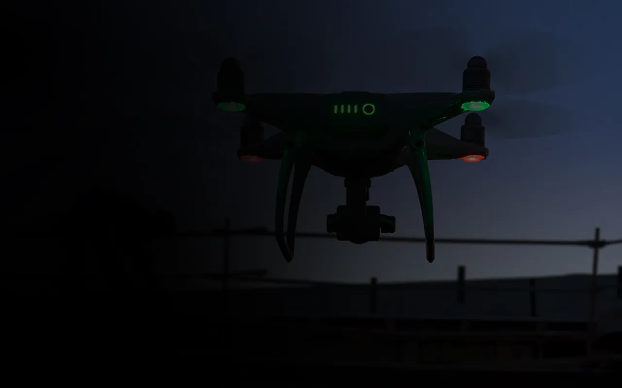
STATE-OF-THE-ART TECHNOLOGY SYSTEMS

You can choose the acquisition system according to the level of detail you want to achieve
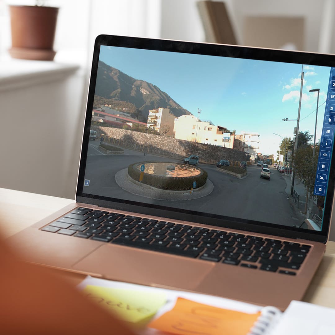
CONNECTION TO THE 3EYE PLATFORM

Surveys are always accessible thanks to our in-house developed 3EYE software.
FIELDS OF EMPLOYMENT

Telecommunications

Energy
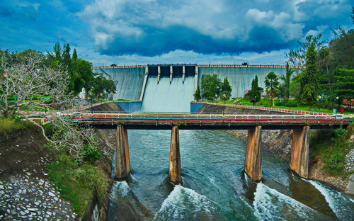
Water

Construction

Logistics and Transportation

Public Administrations
Let's evaluate together the most suitable solution for your needs