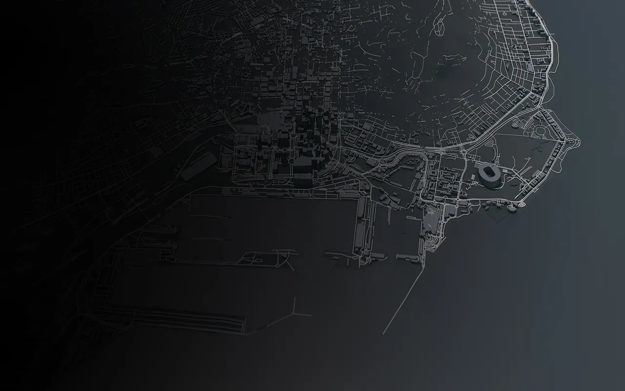
SMART LIDAR
ACCURATE 3D SURVEYS WITH IPHONE LIDAR SCAN
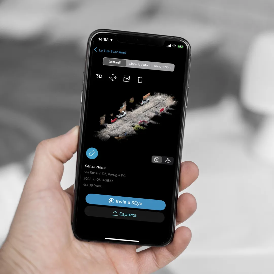
The Smart Lidar iPhone app enables real-world scanning through mobile laser scans directly in the field, managing the online storage of collected data. The goal is to monitor the actual conditions of an environment, infrastructure, or the progress of specific tasks that typically require slow and resource-intensive manual operations.

MANAGE 3D SURVEY DATA ACQUISITION THROUGH A SINGLE APP.
Through an array of light beams, the Lidar scanner can quantify the distance of objects from the smartphone sensor. The data is collected in a file containing real-time coordinates of all the points. Smart Lidar allows for the automatic generation of a point cloud that faithfully represents real-world proportions on a 1:1 scale, an editable 3D mesh, and a photographic report.
Let's evaluate together the most suitable solution for your needs
TIME OPTIMIZATION
Thanks to Smart Lidar, it's now possible to easily and swiftly extract valuable data from point clouds through sophisticated post-processing algorithms.
STREAMLINED WORKFLOW
Lidar technology, already integrated into some Apple devices (from iPhone 12Pro onwards), introduces a strong element of innovation into smartphone design applications, bringing significant benefits and cost savings.
ENHANCE DATA ACCURACY
The ability to manage meshes directly within the app using dedicated toolsets ensures centimeter-level measurements of the obtained geometries.
SPEED IN DATA COLLECTION

Rapid acquisition of 3D data with a high level of detail.
PROFESSIONAL ACCURACY

Powerful and accurate data classification algorithms accessible on a smartphone.

DESIGN-READY DATA

The capability to export 3D data in all major formats used in design activities.
FIELDS OF EMPLOYMENT

Telecommunications

Energy

Water

Construction

Insurance
Let's evaluate together the most suitable solution for your needs