
SPACE
ACQUISITION OF GIS DATA BASED ON SATELLITE IMAGES
Terrestrial data acquisitions are limited when it comes to monitoring the state of vegetation or the growth of urbanization, the atmosphere and everything else that affects large areas. Eagleprojects offers a GIS data acquisition service to monitor the evolution of land or urban area changes over time using satellites.

SATELLITES MONITOR VAST GEOGRAPHICAL AREAS WITH FREQUENT UPDATES AND ALLOW RAPID VERIFICATION OF ENVIRONMENTAL CHANGES.
Satellites can be used to monitor water resources, landslides and earthquakes, air composition, area humidity and the expansion of vegetation and urban areas. The acquisition of satellite data is automated and the images are made available in in-house software such as 3EYE. With access to Copernicus satellite data orthophotos and Lidar acquisitions can be cross-referenced to improve quality.
Let's evaluate together the most suitable solution for your needs
THE CASE STUDY
Uncontrolled fires cause irreparable damage to the environment and economy every year. In Italy alone, fires destroyed more than 62,000 hectares of forest and non-forest areas in 2020.
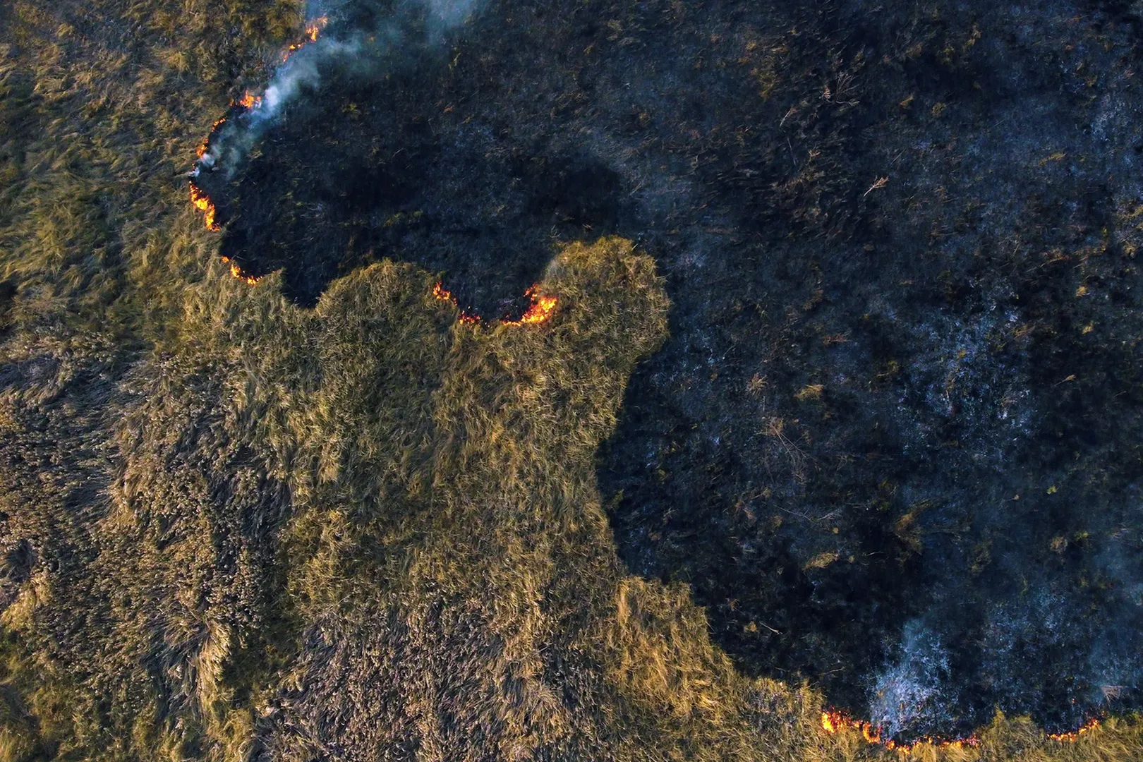
Eagleprojects is developing a method to cross-reference satellite data with Drone Vision software to detect the possible outbreak of fires..
Using satellites equipped with a multispectral camera, we monitor plant health, humidity and air composition, detecting any changes in CO2 levels.
In the event of anomalous data, drones equipped with thermal imaging cameras deployed in the area are activated to search the area. This process enables swift action in the event of a fire, alerting the relevant authorities if the outcome is positive.
Let's evaluate together the most suitable solution for your needs